Synopsis
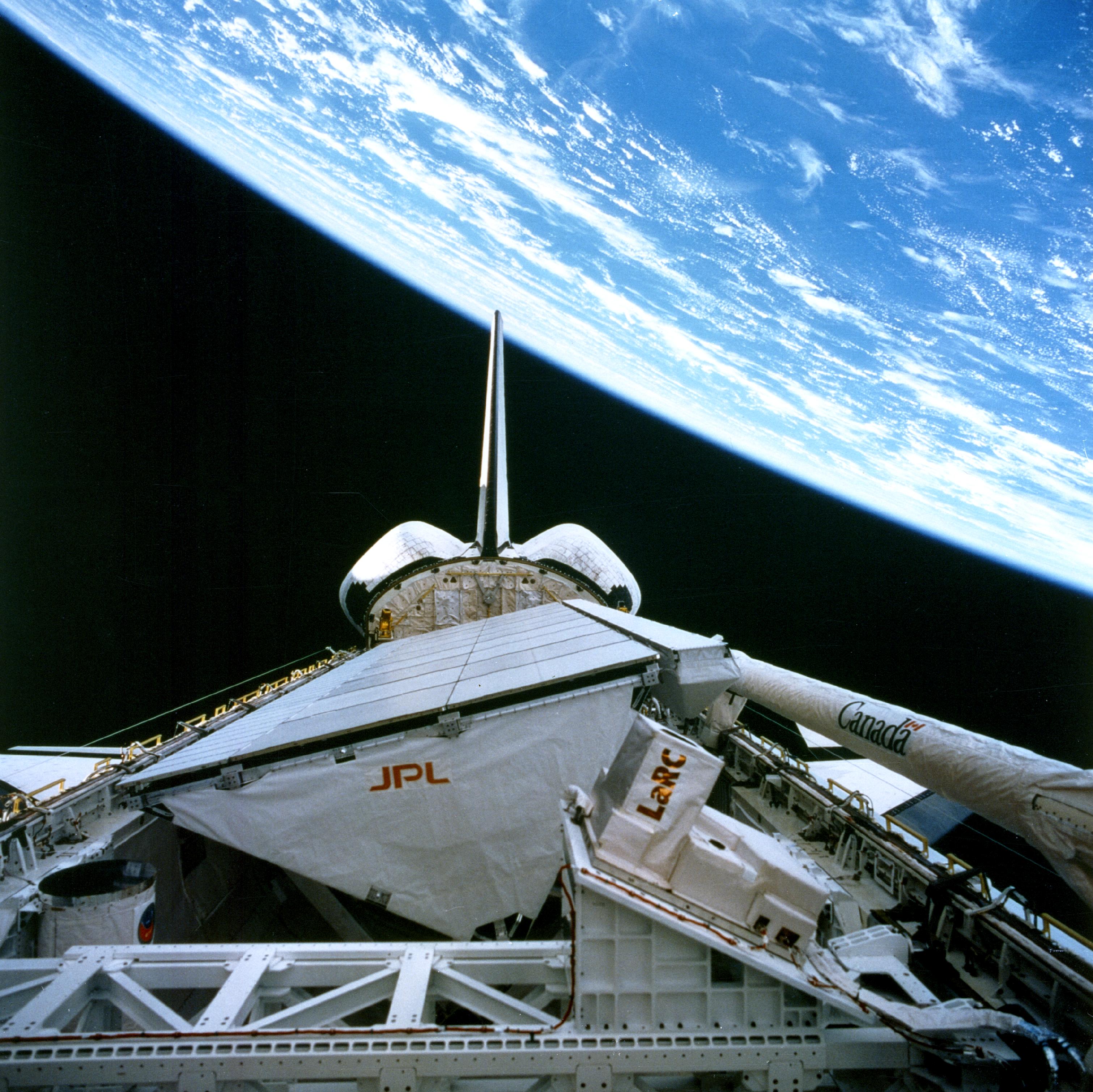
On two missions, in the spring and fall of 1994, the Space Shuttle carried a multifrequency synthetic-aperture radar
(SAR) to image large segments of planet Earth. The
SAR instrument package is known as the Shuttle Imaging Radar-C, or SIR-C for short.
The letter "C" refers to the fact that this particular instrument configuration was the third
SAR to fly on the Space Shuttle; SIR-A was flown in 1981 and SIR-B in 1984. To date,
SIR-C remains the most advanced imaging radar to fly in space. Unlike earlier missions-as well as missions flown since 1994-all of which carried single-frequency SARs, the
SIR-C instrument is the only SAR to acquire backscatter data at three different frequencies,
and to do so simultaneously. The SIR-C instrument included fully polarimetric SARs that
operated at 1.25 GHz (L-band) and 5.3 GHz (C-band) and a non-polarimetric SAR with
VV polarization at 9.6 GHz (X-band).
In support of the SIR-C mission, a team of research investigators at the University of
Michigan carried out an extensive "ground-truth" survey to characterize the terrain across
long swaths of the scenes imaged by the SIR-C radars. The ground-truth surveys included
terrain type and associated ancillary data. This document is made available to SAR users
and designers interested in quantitative information about the statistical distribution of the
radar backscattering coefficient σ0 (dB) for various types of terrain, at any of the three
frequency bands operated by SIR-C. The extraction of data from the voluminous database
is facilitated by the Graphical User Interface (GUI) described in detail in the sections that
follow.